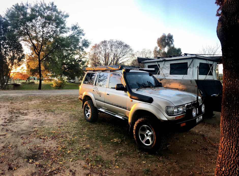
For many trips I’ve always bypassed places like Bourke, just to get off the tar and to keep heading west. But the phrase “the back of Bourke” got me thinking about this area. Bourke, located 800 km north west of Sydney has a long tradition with white man history dating back to the early 1800s, although the traditional owners of this land ( the Ngemba and Paakandji people ) have called this place home for hundreds of years. Charles Sturt was the first white man to pass through the area in 1828, but it wasn't until explorer and surveyor Thomas Mitchell who began the first settlement on the banks of the Darling River. The river was used as a transport system for various types of freight and soon began to boom. A picturesque town where you can visit galleries, exhibition centres or even cruise the Darling River on a traditional steamboat is a great eyeopener but we were interested in more.
50 km south of Bourke, Gundabooka National Park covers 64,000 hectares and is a hidden gem that is worth spending a few days exploring or even a simple day trip from Bourke. There are two ways of getting to Gundabooka, either off Kidman Way ( Bourke to Cobar Road ) or along the Bourke to Louth Road which runs beside the Darling River.
We decided to head down the Kidman Way to the parks well sign posted entry. As soon as you cross into the park, it felt like the real outback with the typical red outback roads, stunning white gums towering over the mulga bush. Just inside the park, a turn off information bay provides all relevant information on what to see and do, where to camp, dangers and map information. It is suggested here that you do drop your tyre pressures as the road in has long stretches of sand and a few rocky sections.
Our designated camp for several nights was Dry Tank camp ground, located 20 km deep within Gundabooka. It’s not the only camp within the park as Yanda campground is located across the other side beside the Darling River, but we wanted to be in the heart of Gundabooka. Wasn't long before we found the turn into Dry Tank and were pleasantly surprised with the layout. Parking for day-trippers and those wanting to start here for the walking trails, private areas for camper trailers and tents hidden in the mulga, a large open area for group camping with several picnic tables with a nearby toilet.
Apart from Dry Tank campground being a great place to settle, it’s also the start of several walking trails. The most popular one is Little Mountain Walking Track. This 5 km trail meanders through thick Mulga and outback Grevillea plants that if your lucky they may have a little colour on them. We were lucky enough to see large mounds that are home to the Mulga Ant. These large black ants are Omnivores which eat any dead matter. Life is tough out here.
Wandering along the trail we noticed a rise in the surrounding landscape which gave us glimpses of Mount Gundabooka in the distance. At the end of the designated walk there is a great viewing platform allowing for uninterrupted views across the plain towards the mountain, and surprisingly we could get phone reception. Mount Gundabooka rises 500 metres above sea level and has been formed from millions of years of constant weathering from the winds and rain. For those keen, an informal trail leads you to the base of the mountain, but you need to be well prepared and experienced for this hike.
We were hoping to explore the Mulgowan or Yappa Aboriginal rock art and walking trail which starts near the turn into Dry Tank. Unfortunately on the days that we were there NPWS were conducting pest control so the walk was closed. Fires are permitted within the park so you need to bring your own timber. It’s a great place sitting beside the fire in Gundabooka as the Mulga scrub seems to go quiet and has a relaxed feel to it. The stars are as bright as some city lights and it makes for a great ambience.
Our next mission was to head up the road to the Bennett’s Gorge area. A 10 km drive heading west from camp soon saw us turning left into Corella Tank Road. With a 2 km drive in towards the looming base of Mount Gundabooka the views towards the plateau is nothing short of spectacular. While NPWS class Bennett’s as just a picnic area there is plenty of room to setup here for several days to explore this area of the park. Plenty of shade, toilets, amazing views and a little phone reception it’s a near perfect spot. From the car park starts the Valley of the Eagles walk. This is an easy 1 km stroll to the base of the mountain where you can sit and take in the amazing views of Mount Gundabooka. Detailed information boards explain the history of the area, point out gorges and highlights on the mountain and explain how the resident Eagles use the warm air currents to glide around looking for prey. The walk takes around 30 minutes but we spent 2 hours here just admiring the views of the surrounding landscape. I like Gundabooka. Heading out the other side its the same sandy then rocky stretches of road and its not long before you hit the Bourke Louth Road.


No comments:
Post a Comment