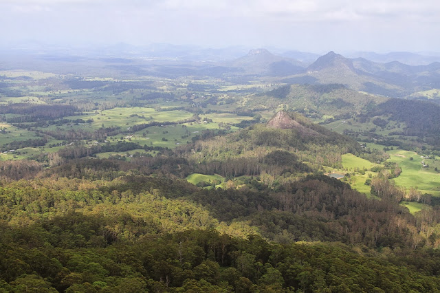
The mid north coast of NSW is scattered with stunning beaches and coastal getaways, but some times if you look a little inland you just might be surprised. Sitting quietly between Taree and Port Macquarie, Coorabakh National Park has many surprises with Volcanic Plugs, stunning lookouts, and huge rock formations all surrounded by pristine rainforest and eucalyptus old growth forests. Coorabakh National Park, relatively small at 1,830 hectares, was declared in 1999 to protect its wide variety of wildlife and the parks stunning scenery.
Passing through several state forests keep an eye out for the old logger trees, where you can still see the cutouts from the planks that the timber cutters stood on when these huge trees were cut by axe around 100 years ago. The forests are full of eucalyptus, hardwood, coachwood and bloodwood trees. Coorabakh National Park is significant to the Biripi Aboriginal people of the local area and takes its name from Coorabakh, meaning bloodwood.
Forest Way soon leads deep down into a newly opened area named Starrs Creek picnic area. Here there are toilets, several tables and a formed pathway which lets you wander through a thick pocket of rainforest where you can get up close and personal to several large red cedar stumps, pristine rainforest trees and any wildlife that may cross your path.
For those who maybe a little scared of doing an extreme walk you can explore Newby's caves, located near Newby's lookout. Signposted, a short stroll will lead you to a number of overhanging rocks that form caves caused by erosion from the creek in times of flood. The lookout and caves were named after John Newby who established the first dairy farm in the Manning area and owned most of the land nearby.
Further along Forest Way, the last impressive stop is Vincent's lookout. While it is a short 2km detour off the main road along Tower road, it is worth another look at the stunning views. Named Tower road due to several radio towers that are perched up here, the views are still impressive as you are still 600 metres above sea level looking towards the coast.
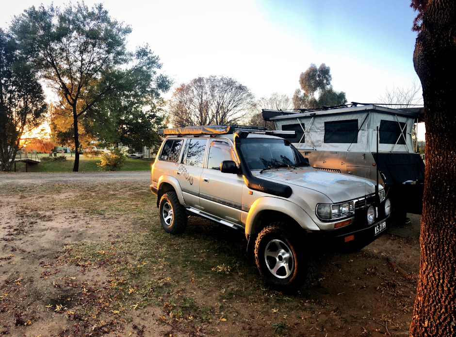
No camping is allowed in this National Park, but at the end of Forest Way at Coopernook, there is free camping with pit toilets all on lush green grass. Exploring Coorabakh National Park might only be a day affair, but where else can you view volcanic plugs, swim in mountain fresh water all in the sight of the eastern sea board.


No comments:
Post a Comment