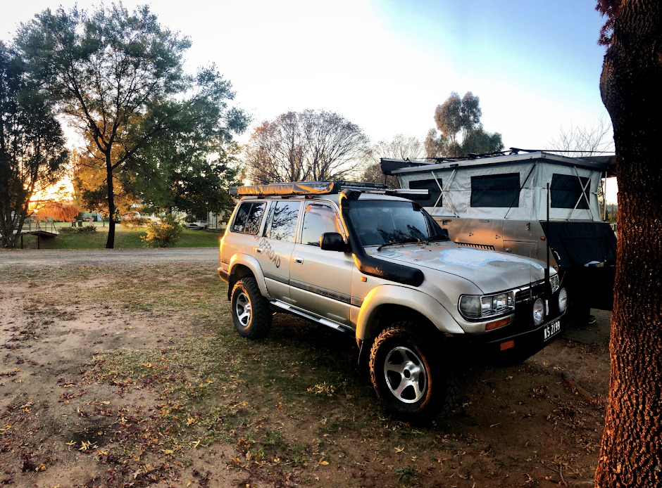
After contacting Waka we were informed that there were several flooded spots but diversions were in place. Our convoy was one of the first since flooding in this area so we were reliant on a good mapping GPS as there are quite a few station roads leading away from the main track. The roads from the station were in good condition considering the lack of maintenance, but a lack of traffic also kept the roads in good condition.
The first 10km had some diversions around large pools of water, which as we were towing trailers weren't to keen to sink into, it was here we came to our first gate which led us into Lake Stewart station. As always it is a rule in the outback to leave the gates as you find them. From here you start travelling with and criss crossing the dunes instead of constantly going up and over them.
Lake Stewart station road crosses several large low lying swamp areas but there are always side tracks around if it looks boggy. Because there was no other traffic out here, we took the advantage of this, by stopping on a dune for a game of Bocce. Set amongst red sand dunes and wildflowers it was great for the kids to get out stretch their legs and lose some of the cabin fever that can build up.
There are several creek crossings along here, but unless there has been a huge amount of rain they will not be a problem for a 4wd with some good ground clearance. The road continues for around 40 km where you will come across some old yards and several pieces of abandon equipment from days gone by. This is part of the Hewart Downs station. As with most stations out here it is a working station so respect the right to be able to travel freely through and observe any signs that have been placed roadside. Hewart Downs has history dating back to the 1880’s, makes you wonder about life back then out here. As you approach the homestead several large signs will point you in the right direction towards Milparinka. The roads through the station were pretty well maintained, just be wary of any cattle and the position of any gates you will encounter.
Continuing along for another 25 km the country side starts to change again with an open feeling and less dunes as you follow several fence lines further south until you encounter ‘Robbie’s Waterhole’, which is situated at a major intersection. Here you can make a decision to keep heading south for around 335km through a maze of station roads, or turn left and head towards Milparinka that lies some 70km away.
Our decision was to head towards Milparinka and just our luck the road had been freshly graded with only patches of bulldust causing grief to the back 4wds. It is possible to stay at Theldarpa Station which is situated 25km along the Milparinka Road. They offer cheap accommodation for travellers with several activities available from 4wding to even helping on the property when time permits. Several kilometres past Theldarpa we were amazed at the quartz fields, where it looked like a huge hail storm had just passed and left several gullies covered in hail stones.
We bypassed the station and headed a further 27km, where the turn off to Depot Glen was situated. Well sign posted, Depot Glen is located on the banks of a water hole where Captain Charles Sturt camped in 1845. The 2nd in command to Sturt was James Poole who died in this harsh environment from scurvy. A monumental grave lies here with his body buried under a nearby tree. Don't let this stop you from setting up camp here for a lunch stop, as there are some huge river gums that line the creek providing shade from the heat. Captain Sturt instructed his men to build a large rock cairn just 8 km away as a marker (and probably a morale booster project for his men); this is accessible from the main road which lies on Mount Poole Station.
After exploring these sites and enjoying a good feed we headed further towards Milparinka- just 13km away. This abandon ghost town has been restored to some of its former glory where volunteers have rebuilt 4 of the town’s buildings. Due to contrary belief, gold wasn’t found here- water was. Gold fields were located 20km away at Mount Brown where even today it is possible to scratch for some gold.
Milparinka has a band of volunteers who man the court house only too happy to share their knowledge on the days gone past, we were only to happy to donate some gold coins to keep this service alive. The old courthouse and gaol cells are packed with memorabilia from an era gone by. A historical walk around town will lead you to each building where you can explore the site, read several information boards and marvel at the grand buildings. The “Shed’’ is jam packed with items that have been discovered in the area, well worth a visit. Milparinka is the end of the loop, where you can head south 330km towards Broken Hill or north 45km back to Tibooburra. No fuel or supplies are available at Milparinka anymore, but toilets are located near the courthouse, to the south the nearest fuel is available at Packsaddle Roadhouse.
We headed south from Milparinka for some time before camping at a hidden location called Green Lakes. That afternoon was great, as the sun set over the lakes- the sun glowed in the western sky, emus came down to drink from the lake it was very peaceful.
This alternative loop wasn’t excessively hard, but lets you get away from the mainstream desert traffic enabling you to feel the isolation that the outback is re-known for.


No comments:
Post a Comment